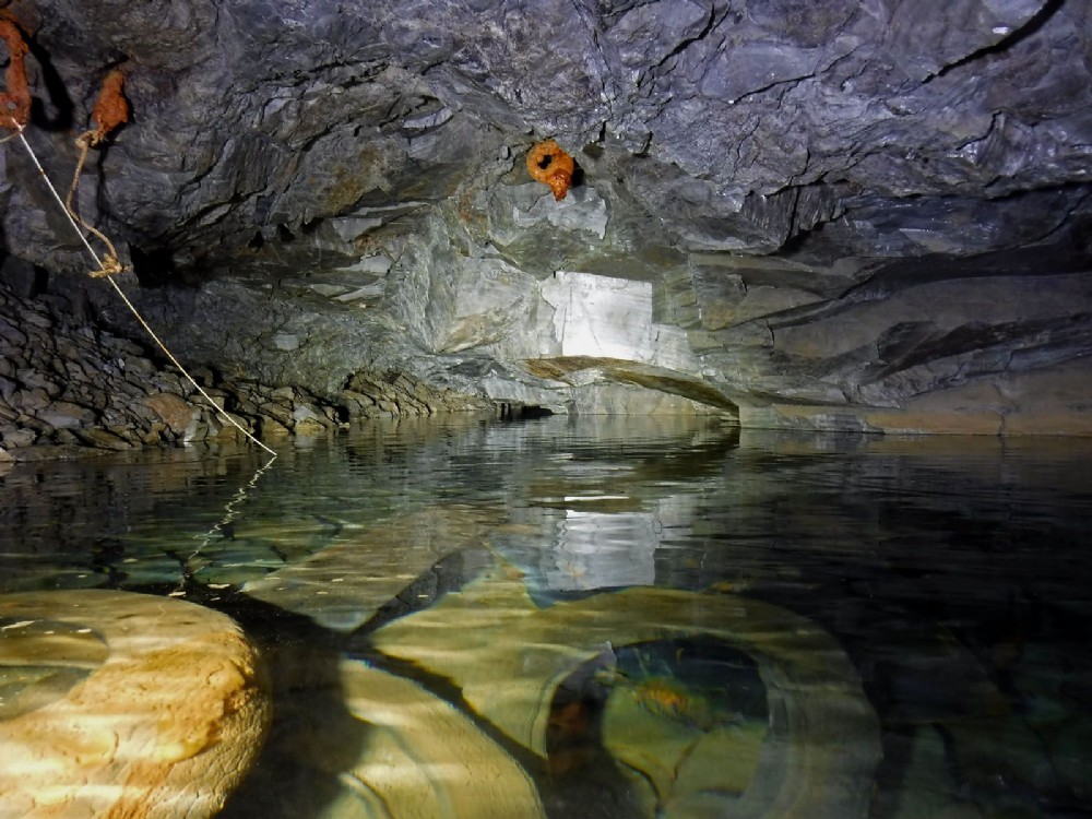
Taylors Incline, 2018 drought. Incline ''bottom''
Actually not the incline bottom but a flat landing area corresponding to the 60 fathom level, this follows the lode ahead, and there is also an exploratory crosscut to the right, with multiple branches. This was recently surveyed, to be published in due course.
On the left is a low packwall, this continues forward into the 60 fthm drift and this is also the point at which the incline shaft cuts the lode.
The string is the dive line previously used by divers.

This photograph is by royfellows and was uploaded September 16th 2018. © royfellows please do not copy or distribute without prior express permission.
Rating
(based on 2 votes)
Comments on this photograph:
-
looks a bit different to when we dived this area, you can see !
(Paul Marvin)
Copy & Paste Forum Code
To display this photograph in a forum message please copy the text below and paste it into your forum message:
[photo]116071[/photo]
To display this photograph in a forum message and link to the full size image please copy the text below and paste it into your forum message:
[link]116071[linkphoto]116071[/linkphoto][/link]