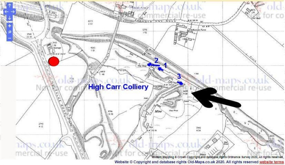
Ordnance Survey 1969 1/2500 scale plan of site
Shows Garage (& transport cafe??) that appears in the background of one of the photos (red dot); Blue arrows (numbered) are the locations/directions of the 3 photos that follow - not sure if they will appear in the numbered order

This photograph was uploaded April 7th 2020 by A500_Adit.
Copyright / re-use statement: Crown Copyright + Old Maps.co.uk under ''fair use'' rules
Rating
Nobody has rated this photograph yet, why not be the first?
Copy & Paste Forum Code
To display this photograph in a forum message please copy the text below and paste it into your forum message:
[photo]120106[/photo]
To display this photograph in a forum message and link to the full size image please copy the text below and paste it into your forum message:
[link]120106[linkphoto]120106[/linkphoto][/link]