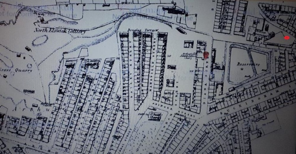
North Elswick 1860s map
Interesting map showing North Elswick in completely different location, Now present day Liddle Road within a housing estate at approx. grid ref NZ234644. The red dot top left is the site location but listed on the map as "Firebrick Manufacturing" although Pit street and Pit Lane are either sides of the site.
Elswick Colliery was located near Mill Lane at approx. grid ref NZ230641. allotments and industrial building occupies the site now.

This photograph is by lyons and was uploaded December 22nd 2018. © lyons please do not copy or distribute without prior express permission.
Rating
Nobody has rated this photograph yet, why not be the first?
Copy & Paste Forum Code
To display this photograph in a forum message please copy the text below and paste it into your forum message:
[photo]116614[/photo]
To display this photograph in a forum message and link to the full size image please copy the text below and paste it into your forum message:
[link]116614[linkphoto]116614[/linkphoto][/link]