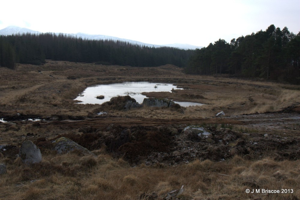
Middleshope Mine, Strontian
Middleshope Mine, Strontian
Several things near Middleshope Mind
Base of building NM 83302 65483
Adit/Drainage Level NM 83252 65460
Pond NM 83276 65366
Small building NM 83108 65327
ID: MHG325
Type of record: Monument
Name: Lead Mine, Middleshope Mine
Grid Reference: NM 83000 65300
Map Sheet: NM86NW
Civil Parish: ARDNAMURCHAN
Geographical Area: LOCHABER
Canmore ID 23122
Site Number NM86NW 3.02
NGR NM 830 653
Council HIGHLAND
Parish ARDNAMURCHAN
Former Region HIGHLAND
Former District LOCHABER
Former County ARGYLL

This photograph is by JMB and was uploaded March 7th 2013. © JMB please do not copy or distribute without prior express permission.
Rating
Nobody has rated this photograph yet, why not be the first?
Copy & Paste Forum Code
To display this photograph in a forum message please copy the text below and paste it into your forum message:
[photo]84107[/photo]
To display this photograph in a forum message and link to the full size image please copy the text below and paste it into your forum message:
[link]84107[linkphoto]84107[/linkphoto][/link]