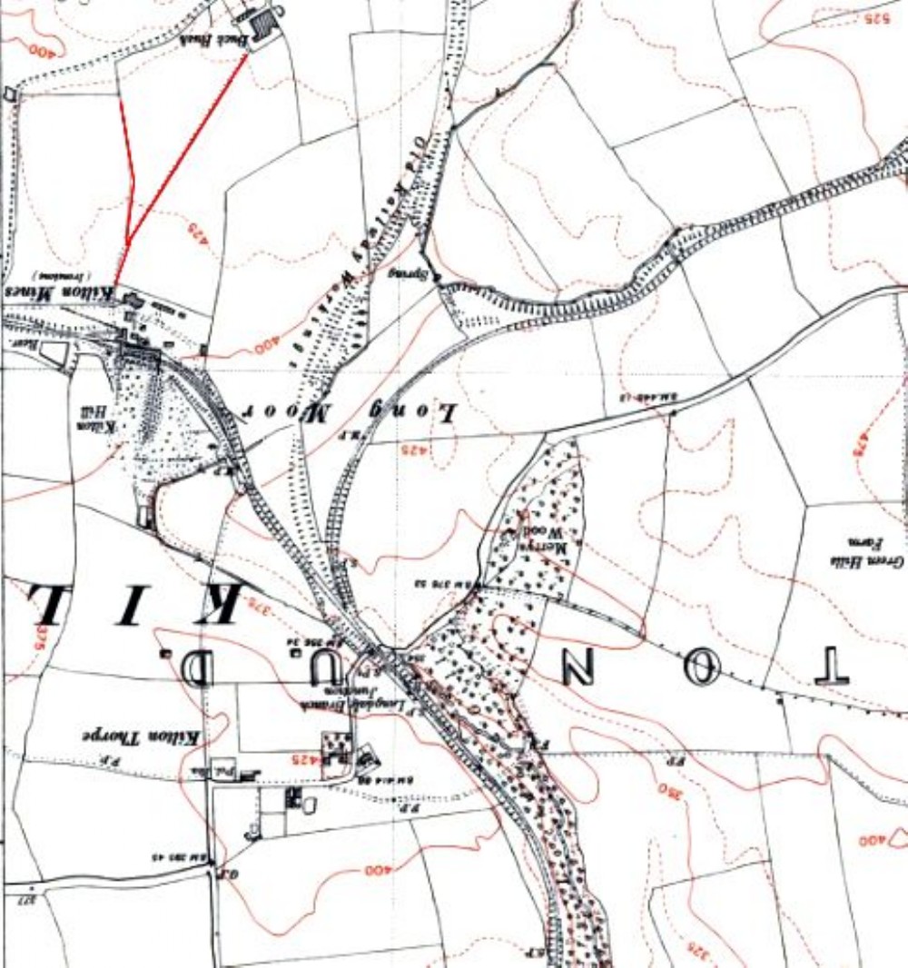
Kilton Mine - Map oriented as JF MacPherson''s photo
The field boundaries from the photo are marked in red.
Source: NLS
Yorkshire XVIII.NW (includes: Kilton; Moorseholm; Skelton with Brotton; Stanghow.)
Revised: 1950
Published: 1952
It seems that the shot was captured looking almost due south

This photograph is by Yorkshireman and was uploaded January 4th 2016. © Yorkshireman please do not copy or distribute without prior express permission.
Rating
Nobody has rated this photograph yet, why not be the first?
Copy & Paste Forum Code
To display this photograph in a forum message please copy the text below and paste it into your forum message:
[photo]103628[/photo]
To display this photograph in a forum message and link to the full size image please copy the text below and paste it into your forum message:
[link]103628[linkphoto]103628[/linkphoto][/link]