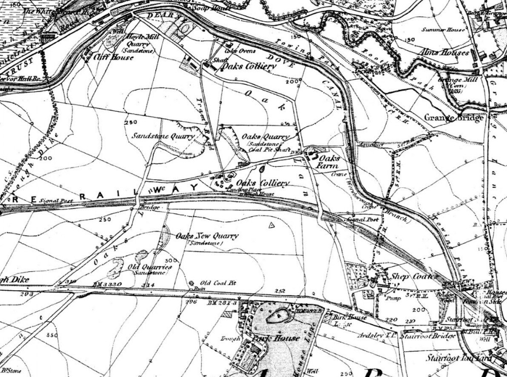
Barrow Colliery (site of) 1850
The northernmost site labelled on the 1850 OS map as "Oaks Colliery" next to the Dearne and Dove Canal subsequently became Rylands Main, Barnsley Main then finally Barrow Colliery in the 1980s

This photograph was uploaded August 29th 2013 by skiprat.
Copyright / re-use statement: Extracted from a personal copy of the 1850 Ordnance Survey map. Crown copyright expired.
Rating
Nobody has rated this photograph yet, why not be the first?
Copy & Paste Forum Code
To display this photograph in a forum message please copy the text below and paste it into your forum message:
[photo]89420[/photo]
To display this photograph in a forum message and link to the full size image please copy the text below and paste it into your forum message:
[link]89420[linkphoto]89420[/linkphoto][/link]