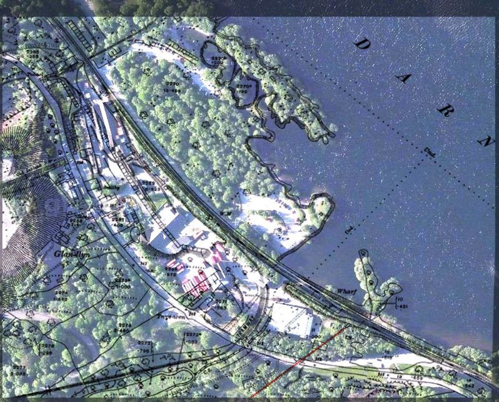
3rd Edition Map/Satellite Overlay of the Garreg Fawr ropeway terminus
3rd edition OS map overlaid on to a present day satellite image of The Glyn area of Llanberis (Llyn Padarn) indicating historical locations. Particularly the Garreg Fawr ropeway terminus

This photograph was uploaded January 22nd 2018 by TwllMawr.
Copyright / re-use statement: Courtesy - Zoom Earth & Ordnance survey/National Library of Scotland
Rating
Nobody has rated this photograph yet, why not be the first?
Copy & Paste Forum Code
To display this photograph in a forum message please copy the text below and paste it into your forum message:
[photo]114149[/photo]
To display this photograph in a forum message and link to the full size image please copy the text below and paste it into your forum message:
[link]114149[linkphoto]114149[/linkphoto][/link]