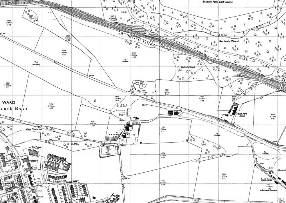
1971 map
The mine is almost cleared away but a few buildings remain including the Sub Station, The site was then used as a small Industrial Estate. However since the date of the map it has all been swept away and a light landscaping has taken place. The Old shaft is still shown on the map near Gibside Close Housing Estate, a new road has been built between the shaft and the housing.

This photograph is by lyons and was uploaded July 20th 2014. © lyons please do not copy or distribute without prior express permission.
Rating
Nobody has rated this photograph yet, why not be the first?
Copy & Paste Forum Code
To display this photograph in a forum message please copy the text below and paste it into your forum message:
[photo]95731[/photo]
To display this photograph in a forum message and link to the full size image please copy the text below and paste it into your forum message:
[link]95731[linkphoto]95731[/linkphoto][/link]