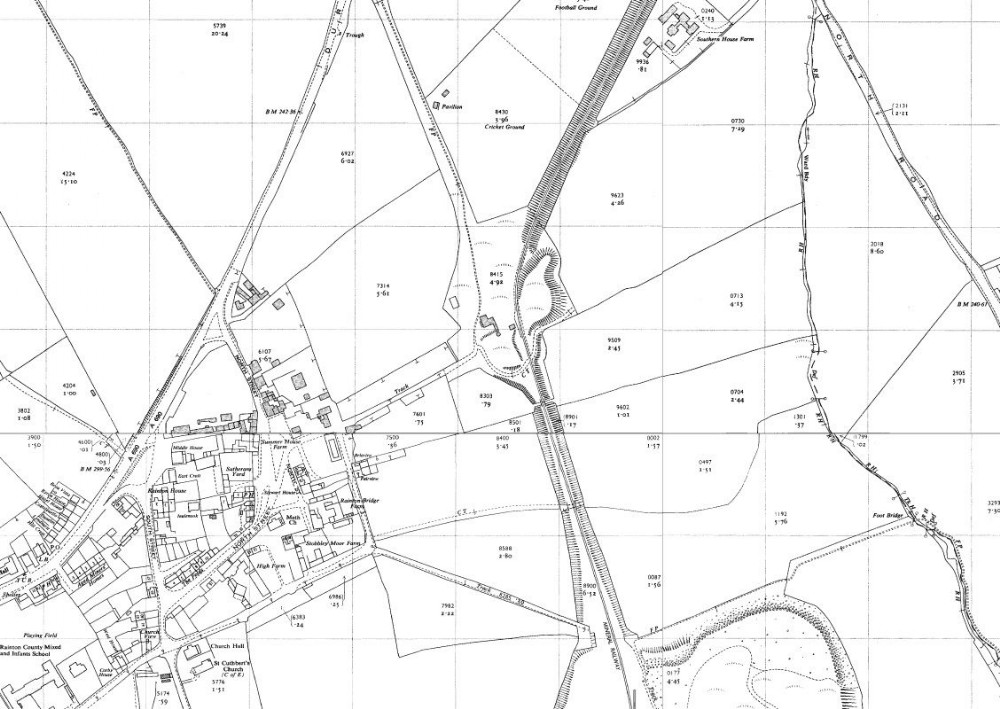
1958 map
Other than the railway lines removed nothing changes until the late 1970s/early 1980s when the whole area was landscaped, the former wagon way still shown on the map was possibly used to remove the waste heaps from the Hazard and Moorsley Pits.

This photograph is by lyons and was uploaded August 1st 2014. © lyons please do not copy or distribute without prior express permission.
Rating
Nobody has rated this photograph yet, why not be the first?
Copy & Paste Forum Code
To display this photograph in a forum message please copy the text below and paste it into your forum message:
[photo]95928[/photo]
To display this photograph in a forum message and link to the full size image please copy the text below and paste it into your forum message:
[link]95928[linkphoto]95928[/linkphoto][/link]