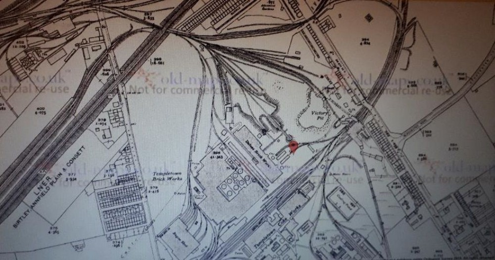
1939 map
Now named Victory Pit, again appears more clay than coal produced judging by the expansion of the Brickworks, also large Coke Works plant and just below Tar making plant. The distinctive stone building on Delves Lane now shown. Other than the stone (workshop?) buildings very few other buildings are on this map, and only one shaft.

This photograph is by lyons and was uploaded January 2nd 2019. © lyons please do not copy or distribute without prior express permission.
Rating
Nobody has rated this photograph yet, why not be the first?
Copy & Paste Forum Code
To display this photograph in a forum message please copy the text below and paste it into your forum message:
[photo]116679[/photo]
To display this photograph in a forum message and link to the full size image please copy the text below and paste it into your forum message:
[link]116679[linkphoto]116679[/linkphoto][/link]