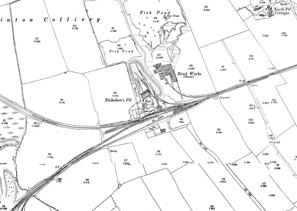
1896 map
The Nicholson Pit was part of the Rainton Group of mines, http://www.dmm.org.uk/colliery/n023.htm opened 1817 but marked disused by 1919 map, somehow the shafts are still in situ, marked pumping engine/station from 1939 map. To the right of the map not in view was a very large Haulage engine, whilst the line itself split in two with one line heading off to Seaham Docks crossing over the famous Copt Hill line from Hetton-Le-Hole, whilst the other lines continued off to the North Hetton Mines (Hazard/Moosley), the line to the left led onto the just in view Meadows Pit (now a lake after Open Cast works).

This photograph is by lyons and was uploaded March 7th 2014. © lyons please do not copy or distribute without prior express permission.
Rating
Nobody has rated this photograph yet, why not be the first?
Copy & Paste Forum Code
To display this photograph in a forum message please copy the text below and paste it into your forum message:
[photo]93478[/photo]
To display this photograph in a forum message and link to the full size image please copy the text below and paste it into your forum message:
[link]93478[linkphoto]93478[/linkphoto][/link]