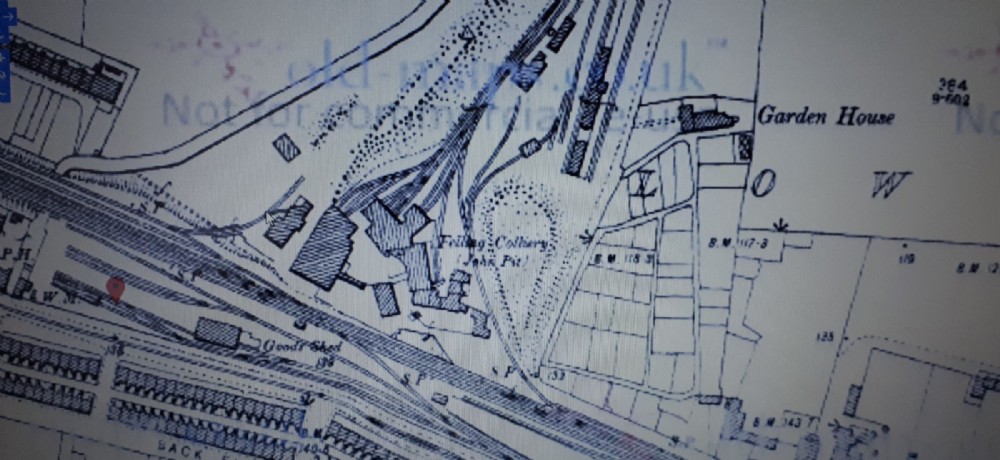
1890s map
As stated on the map, The John pit was to the right. The airshaft location appears to be the largest structure in the centre, with the smaller building to the left the old building that's still standing that I didn't get close to. note the buildings have railway lines coming from them.

This photograph is by lyons and was uploaded April 21st 2020. © lyons please do not copy or distribute without prior express permission.
Rating
Nobody has rated this photograph yet, why not be the first?
Copy & Paste Forum Code
To display this photograph in a forum message please copy the text below and paste it into your forum message:
[photo]120183[/photo]
To display this photograph in a forum message and link to the full size image please copy the text below and paste it into your forum message:
[link]120183[linkphoto]120183[/linkphoto][/link]