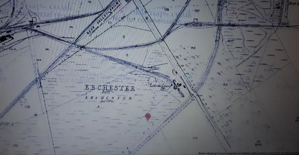
1859 map
Map shows The mine to be named "Latterday Saint Pit" with a handful of buildings. The start of The Massive Consett Iron Works can just be seen top left, With would expand considerably over the years. Started around 1840 it would be the biggest employer in Consett (around 12000 at one point) until 1980. It was also rumoured to be the Largest in Europe at one point? https://en.wikipedia.org/wiki/Consett_Iron_Company
To the top right was Crookhall Iron Works, The wagonway that heads off to the Right (top right) leads to "West Elemore Pit" then Crookhall Colliery, Further west was Iveston Colliery close to the road between Leadgate to Lanchester and near the present day Leadgate Ind estate. There are a large number of small shafts/pits and drifts in the area.

This photograph is by lyons and was uploaded January 2nd 2019. © lyons please do not copy or distribute without prior express permission.
Rating
Nobody has rated this photograph yet, why not be the first?
Copy & Paste Forum Code
To display this photograph in a forum message please copy the text below and paste it into your forum message:
[photo]116677[/photo]
To display this photograph in a forum message and link to the full size image please copy the text below and paste it into your forum message:
[link]116677[linkphoto]116677[/linkphoto][/link]