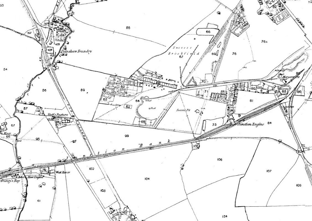
1857 map
The start of the Newbottle collieries, although this had been in use by 1770s. Its name thought to be because the shaft sinking or winning was a Success? The map shows a railway and just two shafts (unusual for this era, perhaps both were needed for water ingress) However a very primitive site with no buildings (winders?) looking either recently established or ready to close? note the tramway linking up with the more established Margaret Pit The present day Bradwell Way housing runs either side of the former line.

This photograph is by lyons and was uploaded July 10th 2014. © lyons please do not copy or distribute without prior express permission.
Rating
Nobody has rated this photograph yet, why not be the first?
Copy & Paste Forum Code
To display this photograph in a forum message please copy the text below and paste it into your forum message:
[photo]95500[/photo]
To display this photograph in a forum message and link to the full size image please copy the text below and paste it into your forum message:
[link]95500[linkphoto]95500[/linkphoto][/link]