Yate No 2 Colliery Coal Mine (United Kingdom)
Information, history photographs (current and archive) and documents for Yate No 2 Colliery Coal Mine.
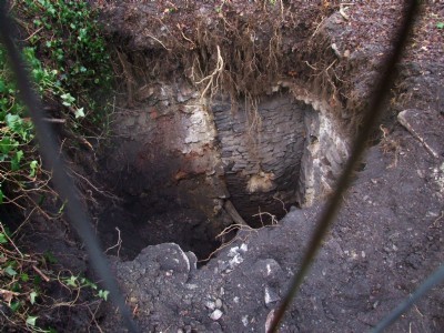
Photos of Yate No 2 Colliery Coal Mine
Photographs Of Yate No 2 Colliery
(10 photos)
Last updated January 9th 2009 by
ICLOK

Historic Photographs Of Yate No 2 Colliery
(0 photos)
Last updated January 9th 2009 by
ICLOK
Google Earth Map of Yate No 2 Colliery Coal Mine
Other location/mapping information:
Latitude: 51.5568
Longitude: -2.43556
Landranger grid reference: ST699843
Easting: 369900
Northing: 184300