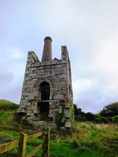
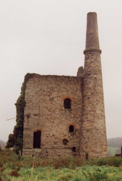
Wheal Unity Wood Mixed Mine (United Kingdom)
Parish: GWENNAP
Data courtesy of Roy Fellows and Roy Morton
Photos of Wheal Unity Wood Mixed Mine
Photographs Of Unity Wood
(55 photos)
Last updated November 12th 2016 by
Scoggan
Historic Photographs Of Unity Wood
(5 photos)
Last updated August 4th 2008 by
Peter Burgess
Google Earth Map of Wheal Unity Wood Mixed Mine
Other location/mapping information:
Latitude: 50.2489
Longitude: -5.17843
Landranger grid reference: SW735436
Easting: 173500
Northing: 043600