Wheal Pendarves Mixed Mine (United Kingdom)
Parish: REDRUTH
Data courtesy of Roy Fellows and Roy Morton
Photos of Wheal Pendarves Mixed Mine
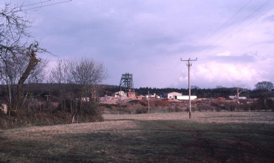
Historic Photographs Of Pendarves
(3 photos)
Last updated September 1st 2013 by
Imageo

Photographs Of Pendarves
(0 photos)
Last updated December 31st 2007 by
royfellows
Google Earth Map of Wheal Pendarves Mixed Mine
Other location/mapping information:
Latitude: 50.2562
Longitude: -5.20558
Landranger grid reference: SW716445
Easting: 171600
Northing: 044500