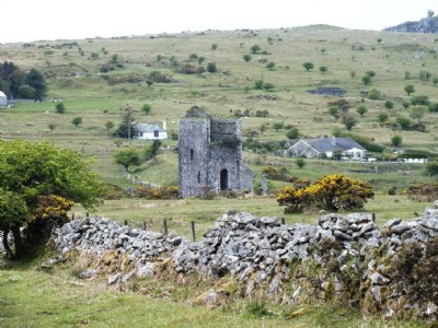
Wheal Jenkin Mixed Mine (United Kingdom)
Parish: LINKINGHORNE
Data courtesy of Roy Fellows and Roy Morton
Photos of Wheal Jenkin Mixed Mine
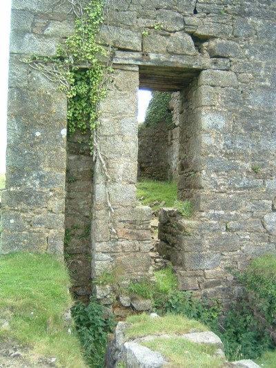
Photographs Of Jenkin
(42 photos)
Last updated December 31st 2020 by
tracyclimber
Wheal Jenkin Visit
(23 photos)
Last updated May 24th 2012 by
ICLOK

Historic Photographs Of Jenkin
(0 photos)
Last updated August 19th 2009 by
DougCornwall
Google Earth Map of Wheal Jenkin Mixed Mine
Other location/mapping information:
Latitude: 50.5148
Longitude: -4.44858
Landranger grid reference: SX265712
Easting: 226500
Northing: 071200