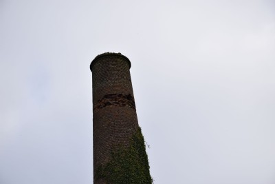
Wheal Grambler & St.Aubyn Copper Mine (United Kingdom)
Parish: GWENNAP
Data courtesy of Roy Morton and Roy Fellows
Photos of Wheal Grambler & St.Aubyn Copper Mine
Photographs Of Grambler + St.Aubyn
(10 photos)
Last updated October 29th 2016 by
Scoggan

Historic Photographs Of Grambler + St.Aubyn
(0 photos)
Last updated December 31st 2007 by
royfellows
Google Earth Map of Wheal Grambler & St.Aubyn Copper Mine
Other location/mapping information:
Latitude: 50.2349430199132
Longitude: -5.20460424274069
Landranger grid reference: SW715422
Easting: 171500
Northing: 042200