Wheal Grambler Copper Mine (United Kingdom)
Parish: GWENNAP
Data courtesy of Roy Fellows and Roy Morton
Photos of Wheal Grambler Copper Mine
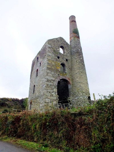
Photographs Of Grambler
(11 photos)
Last updated February 15th 2013 by
Roy Morton

Historic Photographs Of Grambler
(0 photos)
Last updated December 31st 2007 by
royfellows
Google Earth Map of Wheal Grambler Copper Mine
Other location/mapping information:
Latitude: 50.2320941873704
Longitude: -5.21002364279541
Landranger grid reference: SW711419
Easting: 171100
Northing: 041900