Wheal Gorland Copper Mine (United Kingdom)
Sim's Shaft & Davey's Footway, accessing lodes.
Photos of Wheal Gorland Copper Mine

Photographs Of Wheal Gorland
(17 photos)
Last updated January 23rd 2011 by
Roy Morton
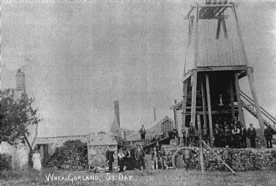
Historic Photographs Of Wheal Gorland
(4 photos)
Last updated January 23rd 2011 by
Roy Morton
Google Earth Map of Wheal Gorland Copper Mine
Other location/mapping information:
Latitude: 50.2415
Longitude: -5.18355
Landranger grid reference: SW731428
Easting: 173100
Northing: 042800