Wheal Friendship (St.Hilary) (Friendship And Prosper) Tin Mine (United Kingdom)
Parish; St.Hilary
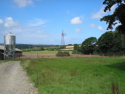
A very sprawling sett based around Kestal hamlet.
Photos of Wheal Friendship (St.Hilary) Tin Mine
Photographs Of Wheal Friendship
(8 photos)
Last updated August 6th 2010 by
wheal

Historic Photographs Of Wheal Friendship
(0 photos)
Last updated July 20th 2010 by
wheal
Google Earth Map of Wheal Friendship (St.Hilary) Tin Mine
Other location/mapping information:
Latitude: 50.1338
Longitude: -5.42832
Landranger grid reference: SW551316
Easting: 155100
Northing: 031600