Wheal Cusvey (Cusvean) Mixed Mine (United Kingdom)
Parish: GWENNAP
Data courtesy of Roy Fellows and Roy Morton
Photos of Wheal Cusvey Mixed Mine
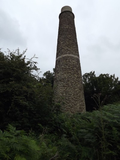
Photographs Of Cusvey (Cusvean)
(26 photos)
Last updated July 12th 2012 by
LeeW

Historic Photographs Of Cusvey (Cusvean)
(0 photos)
Last updated December 31st 2007 by
royfellows
Google Earth Map of Wheal Cusvey Mixed Mine
Other location/mapping information:
Latitude: 50.2345
Longitude: -5.14521
Landranger grid reference: SW758419
Easting: 175800
Northing: 041900