Wheal Charlotte United Mixed Mine (United Kingdom)
Parish: ST.AGNES
Data courtesy of Roy Fellows and Roy Morton
Photos of Wheal Charlotte United Mixed Mine
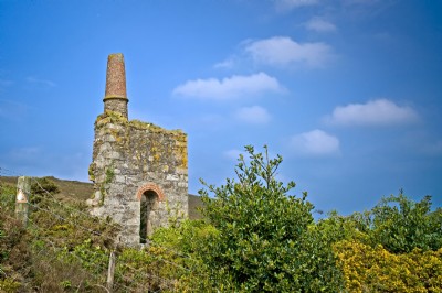
Photographs Of Charlotte United
(3 photos)
Last updated December 23rd 2011 by
V8VCG

Historic Photographs Of Charlotte United
(0 photos)
Last updated December 31st 2007 by
royfellows
Google Earth Map of Wheal Charlotte United Mixed Mine
Other location/mapping information:
Latitude: 50.2943
Longitude: -5.2278
Landranger grid reference: SW702488
Easting: 170200
Northing: 048800