Wheal Albion Mixed Mine (United Kingdom)
Data courtesy of Roy Fellows and Roy Morton
Photos of Wheal Albion Mixed Mine
Photographs Of Albion
(1 photo)
Last updated March 22nd 2012 by
RRX

Historic Photographs Of Albion
(0 photos)
Last updated December 31st 2007 by
royfellows
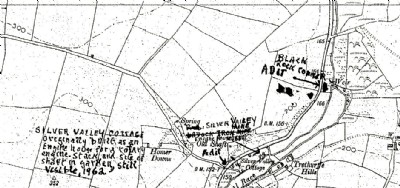
Google Earth Map of Wheal Albion Mixed Mine
Other location/mapping information:
Latitude: 50.3377
Longitude: -4.94963
Landranger grid reference: SW902528
Easting: 190200
Northing: 052800