Westernhope New Lead Mine (United Kingdom)
A series of levels in the eastern headwaters of Westernhope burn driven by W B Lead Co. None of them are now open.
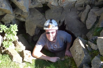
Photos of Westernhope New Lead Mine
Photographs Of Westernhope New
(7 photos)
Last updated September 18th 2016 by
RetroGamerVX

Historic Photographs Of Westernhope New
(0 photos)
Last updated August 20th 2007 by
sparty_lea
Google Earth Map of Westernhope New Lead Mine
Other location/mapping information:
Latitude: 54.7073
Longitude: -2.11016
Landranger grid reference: NY930347
Easting: 393000
Northing: 534700