Westbury Brook Scowle Section Iron Mine (United Kingdom)
Information, history photographs (current and archive) and documents for Westbury Brook Scowle Section Iron Mine.
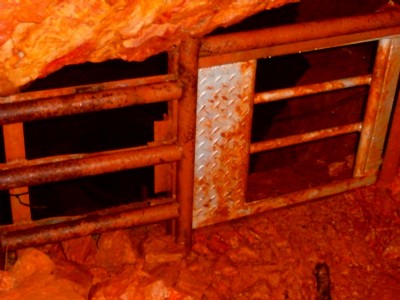
Photos of Westbury Brook Scowle Section Iron Mine
Historic Photographs Of Westbury Brook Scowle Section
(1 photo)
Last updated October 9th 2016 by
aliibert

Photographs Of Westbury Brook Scowle Section
(0 photos)
Last updated November 30th 2008 by
ICLOK
Google Earth Map of Westbury Brook Scowle Section Iron Mine
Other location/mapping information:
Latitude: 51.8452
Longitude: -2.49205
Landranger grid reference: SO662164
Easting: 366200
Northing: 216400