West Stonesdale (Stonesdale Moor) Lead Mine (United Kingdom)
Mines worked by a shaft to the west of Arn Gill and by an Adit to the east.
Photos of West Stonesdale Lead Mine

Historic Photographs Of West Stonesdale
(2 photos)
Last updated January 29th 2019 by
Dickie Bird
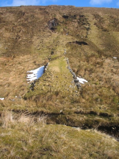
Photographs Of West Stonesdale
(12 photos)
Last updated September 10th 2012 by
christwigg
Google Earth Map of West Stonesdale Lead Mine
Other location/mapping information:
Latitude: 54.4277
Longitude: -2.17722
Landranger grid reference: NY886036
Easting: 388600
Northing: 503600