West Sharptor Mixed Mine (United Kingdom)
Parish: LINKINGHORNE
Data courtesy of Roy Fellows and Roy Morton
Photos of West Sharptor Mixed Mine
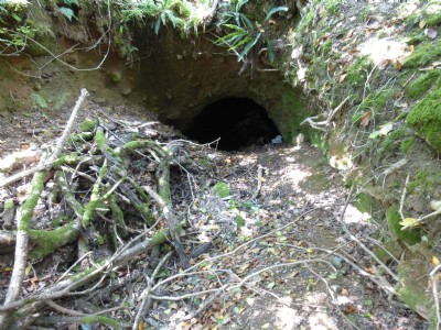
Photographs Of Sharptor West
(13 photos)
Last updated June 14th 2014 by
Scoggan

Historic Photographs Of Sharptor West
(0 photos)
Last updated December 31st 2007 by
royfellows
Google Earth Map of West Sharptor Mixed Mine
Other location/mapping information:
Latitude: 50.5326
Longitude: -4.45796
Landranger grid reference: SX259732
Easting: 225900
Northing: 073200