West Penstruthal (South Buller And West Penstruthal) Tin Mine (United Kingdom)
Parish: REDRUTH
Data courtesy of Roy Fellows and Roy Morton
Photos of West Penstruthal Tin Mine
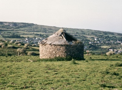
Photographs Of Penstruthal West
(1 photo)
Last updated July 10th 2018 by
Saundry1946

Historic Photographs Of Penstruthal West
(0 photos)
Last updated December 31st 2007 by
royfellows
Google Earth Map of West Penstruthal Tin Mine
Other location/mapping information:
Latitude: 50.2081
Longitude: -5.22197
Landranger grid reference: SW702392
Easting: 170200
Northing: 039200