West Godolphin (Wheal Junket) Tin Mine (United Kingdom)
Description by ICLOK-
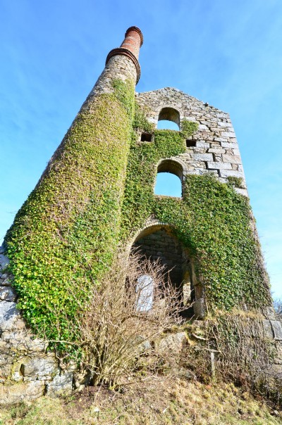
Operated 1860 to 1890. A large pumping engine house stands close to the Trescowe Road on the slopes of Godolphin Hill. Below at SW 580319 is the site of the stamps marked by two small stacks.
Parish: ST.ERTH
Photos of West Godolphin Tin Mine
Photographs Of Godolphin West
(12 photos)
Last updated March 17th 2014 by
DougCornwall

Historic Photographs Of Godolphin West
(0 photos)
Last updated December 31st 2007 by
royfellows
Google Earth Map of West Godolphin Tin Mine
Other location/mapping information:
Latitude: 50.1319067884709
Longitude: -5.37967387136351
Landranger grid reference: SW585313
Easting: 158500
Northing: 031300