West Caradon Mixed Mine (United Kingdom)
Parish: ST.CLEER
Data courtesy of Roy Fellows and Roy Morton
Photos of West Caradon Mixed Mine
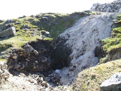
Photographs Of Caradon West
(17 photos)
Last updated June 7th 2019 by
Scoggan

Historic Photographs Of Caradon West
(0 photos)
Last updated December 31st 2007 by
royfellows
Google Earth Map of West Caradon Mixed Mine
Other location/mapping information:
Latitude: 50.5031
Longitude: -4.44938
Landranger grid reference: SX264699
Easting: 226400
Northing: 069900