Wellington Colliery Coal Mine (United Kingdom)
Information, history photographs (current and archive) and documents for Wellington Colliery Coal Mine.
Photos of Wellington Colliery Coal Mine
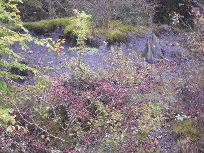
Photographs Of Wellington Colliery
(2 photos)
Last updated October 29th 2011 by
lipsi

Historic Photographs Of Wellington Colliery
(0 photos)
Last updated November 30th 2008 by
ICLOK
Google Earth Map of Wellington Colliery Coal Mine
Other location/mapping information:
Latitude: 52.2864
Longitude: -2.53797
Landranger grid reference: SO634655
Easting: 363400
Northing: 265500