Waterloo Colliery Coal Mine (United Kingdom)
Information, history photographs (current and archive) and documents for Waterloo Colliery Coal Mine.
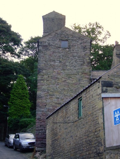
Photos of Waterloo Colliery Coal Mine
Photographs Of Waterloo Colliery
(9 photos)
Last updated August 27th 2011 by
LeeW

Historic Photographs Of Waterloo Colliery
(1 photo)
Last updated September 19th 2009 by
ICLOK
Google Earth Map of Waterloo Colliery Coal Mine
Other location/mapping information:
Latitude: 53.3268
Longitude: -1.98345
Landranger grid reference: SK012811
Easting: 401200
Northing: 381100