Wallsend Colliery Coal Mine (United Kingdom)
Information, history photographs (current and archive) and documents for Wallsend Colliery Coal Mine.
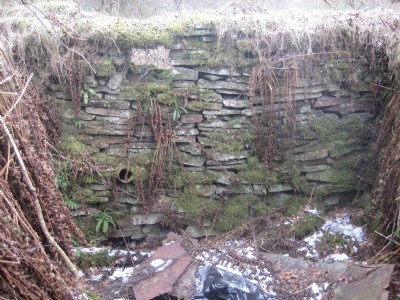
Photos of Wallsend Colliery Coal Mine
Photographs Of Wallsend Colliery
(2 photos)
Last updated March 29th 2013 by
Exocetmissile

Historic Photographs Of Wallsend Colliery
(0 photos)
Last updated November 30th 2008 by
ICLOK
Google Earth Map of Wallsend Colliery Coal Mine
Other location/mapping information:
Latitude: 51.7749
Longitude: -2.52172
Landranger grid reference: SO641086
Easting: 364100
Northing: 208600