Home > Mines, Quarries & Sites > Waldron Furnace Iron Smelter

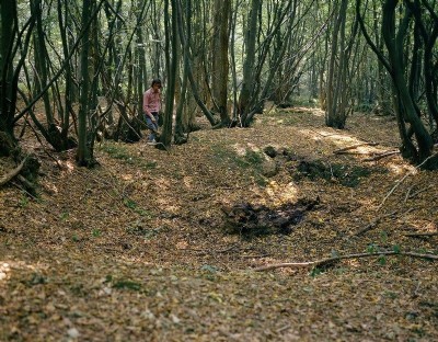
Waldron Furnace Iron Smelter (United Kingdom)


Bay breached by streams. Pond dry. Gun foundry. Bricks, tiles, glassy slag and fragments of cannon moulds. Known period: 1560-1758. For details see [url]http://www.wirgdata.org/searchsites.cgi[/url]

Photos of Waldron Furnace Iron Smelter

Historic Photographs Of Waldron Furnace
Historic Photographs Of Waldron Furnace (1 photo)
Last updated December 13th 2009 by Peter Burgess
Photographs Of Waldron Furnace
Photographs Of Waldron Furnace (0 photos)
Last updated March 7th 2009 by Peter Burgess

Google Earth Map of Waldron Furnace Iron Smelter


Other location/mapping information:

Latitude: 50.9402
Longitude: 0.226127
Landranger grid reference: TQ565180
Easting: 556500
Northing: 118000

Documents for Waldron Furnace Iron Smelter

Sorry, there are no documents currently available. If you have any documents you can share please click the 'Upload a Document' tab.

Major Mining Region


Waldron Furnace Iron Smelter belongs to the East Sussex region.