Home > Mines, Quarries & Sites > Upper Birchwood Colliery Coal Mine

Upper Birchwood Colliery Coal Mine (United Kingdom)


Information, history photographs (current and archive) and documents for Upper Birchwood Colliery Coal Mine.

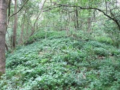
Photos of Upper Birchwood Colliery Coal Mine

Photographs Of Upper Birchwood Colliery
Photographs Of Upper Birchwood Colliery (28 photos)
Last updated May 26th 2010 by ICLOK
Historic Photographs Of Upper Birchwood Colliery
Historic Photographs Of Upper Birchwood Colliery (0 photos)
Last updated March 10th 2009 by ICLOK

Google Earth Map of Upper Birchwood Colliery Coal Mine


Other location/mapping information:

Latitude: 53.0832
Longitude: -1.34307
Landranger grid reference: SK441542
Easting: 444100
Northing: 354200

Documents for Upper Birchwood Colliery Coal Mine

Sorry, there are no documents currently available. If you have any documents you can share please click the 'Upload a Document' tab.

Major Mining Region


Upper Birchwood Colliery Coal Mine belongs to the Derbyshire region.

See also:

Upper Birchwood Colliery Coal Mine was served by:

Mansfield & Pinxton Railway

See more:

All coal mines in United Kingdom (SK)
All coal mines in United Kingdom