Tyringham Consols Mixed Mine (United Kingdom)
Parish: TOWEDNACK+ST.IVES
Data courtesy of Roy Fellows and Roy Morton
Photos of Tyringham Consols Mixed Mine
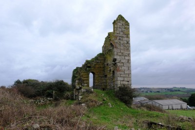
Photographs Of Tyringham Consols
(7 photos)
Last updated July 19th 2018 by
Saundry1946

Historic Photographs Of Tyringham Consols
(0 photos)
Last updated December 31st 2007 by
royfellows
Google Earth Map of Tyringham Consols Mixed Mine
Other location/mapping information:
Latitude: 50.1943
Longitude: -5.51253
Landranger grid reference: SW494386
Easting: 149400
Northing: 038600