Troutbeck Park High Slate Quarry (United Kingdom)
Information, history photographs (current and archive) and documents for Troutbeck Park High Slate Quarry.
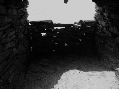
Photos of Troutbeck Park High Slate Quarry
Historic Photographs Of Troutbeck Park High Quarry
(7 photos)
Last updated June 6th 2012 by
christwigg

Photographs Of Troutbeck Park High Quarry
(31 photos)
Last updated June 5th 2012 by
christwigg
Google Earth Map of Troutbeck Park High Slate Quarry
Other location/mapping information:
Latitude: 54.4559476278681
Longitude: -2.87930294568786
Landranger grid reference: NY430071
Easting: 343000
Northing: 507100