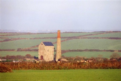
Tregurtha Downs Tin Mine (United Kingdom)
Parish: ST.HILARY
Data courtesy of Roy Fellows and Roy Morton
Photos of Tregurtha Downs Tin Mine
Historic Photographs Of Tregurtha Downs
(5 photos)
Last updated November 18th 2016 by
B175

Photographs Of Tregurtha Downs
(13 photos)
Last updated January 25th 2015 by
Loiner

Tregurtha Downs Visit
(2 photos)
Last updated December 15th 2011 by
ICLOK
Google Earth Map of Tregurtha Downs Tin Mine
Other location/mapping information:
Latitude: 50.1288
Longitude: -5.44615
Landranger grid reference: SW538311
Easting: 153800
Northing: 031100