Thumper Sitch Level Lead Mine (United Kingdom)
Information, history photographs (current and archive) and documents for Thumper Sitch Level Lead Mine.
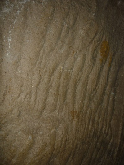
Photos of Thumper Sitch Level Lead Mine
Photographs Of Thumper Sitch Level
(6 photos)
Last updated January 1st 2017 by
owd git

Historic Photographs Of Thumper Sitch Level
(0 photos)
Last updated March 12th 2009 by
ICLOK
Google Earth Map of Thumper Sitch Level Lead Mine
Other location/mapping information:
Latitude: 53.1023
Longitude: -1.60566
Landranger grid reference: SK265562
Easting: 426500
Northing: 356200