Thompsons Pit Coal Mine (United Kingdom)
Information, history photographs (current and archive) and documents for Thompsons Pit Coal Mine.
Photos of Thompsons Pit Coal Mine
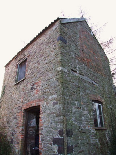
Photographs Of Thompsons Pit
(3 photos)
Last updated January 10th 2009 by
ICLOK

Historic Photographs Of Thompsons Pit
(0 photos)
Last updated January 3rd 2009 by
ICLOK
Google Earth Map of Thompsons Pit Coal Mine
Other location/mapping information:
Latitude: 51.4531
Longitude: -2.49358
Landranger grid reference: ST658728
Easting: 365800
Northing: 172800