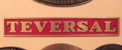
Teversal (Butcherwood) Coal Colliery (United Kingdom)
Information, history photographs (current and archive) and documents for Teversal (Butcherwood) Coal Colliery.
Photos of Teversal (Butcherwood) Coal Colliery

Historic Photographs Of Teversal Colliery
(3 photos)
Last updated December 13th 2008 by
davidbuxton
Photographs Of Teversal Colliery
(1 photo)
Last updated October 6th 2008 by
ICLOK
Google Earth Map of Teversal (Butcherwood) Coal Colliery
Other location/mapping information:
Latitude: 53.1539
Longitude: -1.28966
Landranger grid reference: SK476621
Easting: 447600
Northing: 362100