Taylors Shaft Lead Mine (United Kingdom)
This shaft is located on Sutton (White) Vein to the southeast of Broadmeadow. For the locations of some of the shafts on the vein see the Sutton (White) Vein Mine Entry.
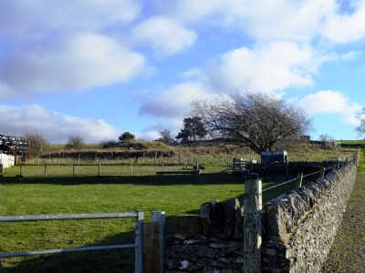
The shaft is located at approx SK 2255 6424
Photos of Taylors Shaft Lead Mine
Photographs Of Taylors Shaft
(2 photos)
Last updated January 15th 2014 by
LeeW

Historic Photographs Of Taylors Shaft
(0 photos)
Last updated January 15th 2014 by
LeeW
Google Earth Map of Taylors Shaft Lead Mine
Other location/mapping information:
Latitude: 53.1741446762812
Longitude: -1.66334242087376
Landranger grid reference: SK225642
Easting: 422500
Northing: 364200