Steeplehouse Limestone Quarry (United Kingdom)
Dis-used Quarry once connected to the Cromford and High Peak Railway at Steeeplehouse station. Owned by the National Stone Centre and soon to be connected to the steeplehouse Narrow gauge railway.
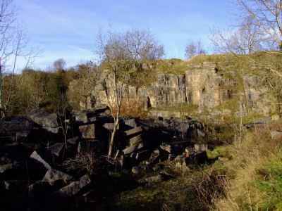
Photos of Steeplehouse Limestone Quarry
Photographs Of Steeplehouse
(3 photos)
Last updated November 18th 2008 by
ICLOK

Historic Photographs Of Steeplehouse
(0 photos)
Last updated November 18th 2008 by
ICLOK
Google Earth Map of Steeplehouse Limestone Quarry
Other location/mapping information:
Latitude: 53.095
Longitude: -1.57287
Landranger grid reference: SK287554
Easting: 428700
Northing: 355400