South Wheal Phoenix Mixed Mine (United Kingdom)
Parish: LINKINGHORNE
Data courtesy of Roy Fellows and Roy Morton
Photos of South Wheal Phoenix Mixed Mine
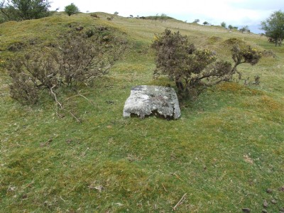
Photographs Of Phoenix South
(17 photos)
Last updated January 16th 2017 by
ICLOK

Historic Photographs Of Phoenix South
(0 photos)
Last updated August 20th 2009 by
DougCornwall
Google Earth Map of South Wheal Phoenix Mixed Mine
Other location/mapping information:
Latitude: 50.5183
Longitude: -4.45158
Landranger grid reference: SX263716
Easting: 226300
Northing: 071600