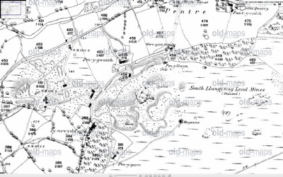
South Llangynog Lead Mine (United Kingdom)
Shown as disused on 1897 OS map.
Photos of South Llangynog Lead Mine
Historic Photographs Of South Llangynog
(1 photo)
Last updated March 4th 2012 by
Lister

Photographs Of South Llangynog
(0 photos)
Last updated March 4th 2012 by
Lister
Google Earth Map of South Llangynog Lead Mine
Other location/mapping information:
Latitude: 52.8196973029968
Longitude: -3.40513882433713
Landranger grid reference: SJ053256
Easting: 305300
Northing: 325600