Smithy Wood Colliery Coal Colliery (United Kingdom)
Smithy Wood first appears on the 1905 OS map as a small colliery with a bank of coke ovens. The site was expanded in the 1930s with a new Coke and Gas Ovens to the east of the original site across the MS&L railway line. The site was operational until the later days of the coal industry in South Yorkshire. The colliery at Thorpe Hesley one and a half miles to the NE seems to have been associated with Smithy Wood (labelled Smithy Wood Colliery (Norfolk Pit) on the 1930s OS map.
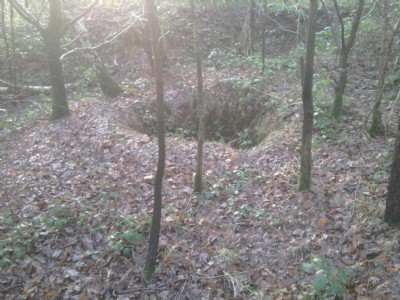
Photos of Smithy Wood Colliery Coal Colliery
Photographs Of Smithy Wood Colliery
(4 photos)
Last updated January 19th 2014 by
exploror2014

Historic Photographs Of Smithy Wood Colliery
(1 photo)
Last updated August 17th 2013 by
skiprat
Google Earth Map of Smithy Wood Colliery Coal Colliery
Other location/mapping information:
Latitude: 53.452058592755
Longitude: -1.45482440552189
Landranger grid reference: SK362952
Easting: 436200
Northing: 395200