Skears Firestone Level Lead Mine (United Kingdom)
Information, history photographs (current and archive) and documents for Skears Firestone Level Lead Mine.
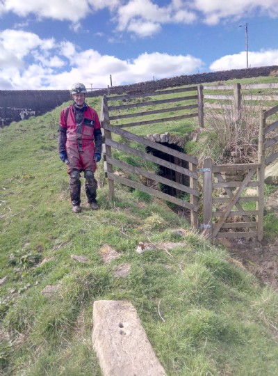
Photos of Skears Firestone Level Lead Mine
Photographs Of Skears Firestone Level
(23 photos)
Last updated May 2nd 2018 by
Paul Binney

Historic Photographs Of Skears Firestone Level
(1 photo)
Last updated April 30th 2018 by
simonrl
Google Earth Map of Skears Firestone Level Lead Mine
Other location/mapping information:
Latitude: 54.6462
Longitude: -2.09139
Landranger grid reference: NY942279
Easting: 394200
Northing: 527900