Siston Hill Colliery Coal Mine (United Kingdom)
Information, history photographs (current and archive) and documents for Siston Hill Colliery Coal Mine.
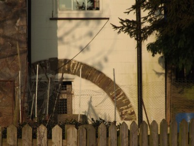
Photos of Siston Hill Colliery Coal Mine
Photographs Of Siston Hill Colliery
(4 photos)
Last updated April 29th 2009 by
carnkie

Historic Photographs Of Siston Hill Colliery
(0 photos)
Last updated December 29th 2008 by
ICLOK
Google Earth Map of Siston Hill Colliery Coal Mine
Other location/mapping information:
Latitude: 51.4631
Longitude: -2.47785
Landranger grid reference: ST669739
Easting: 366900
Northing: 173900